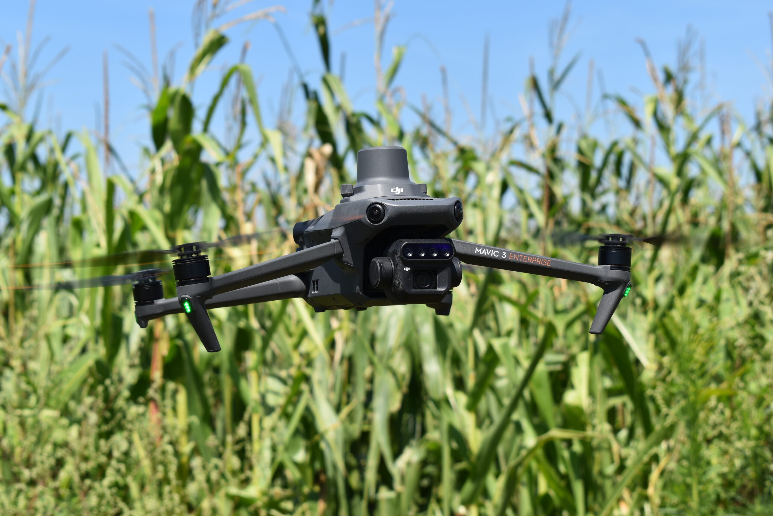
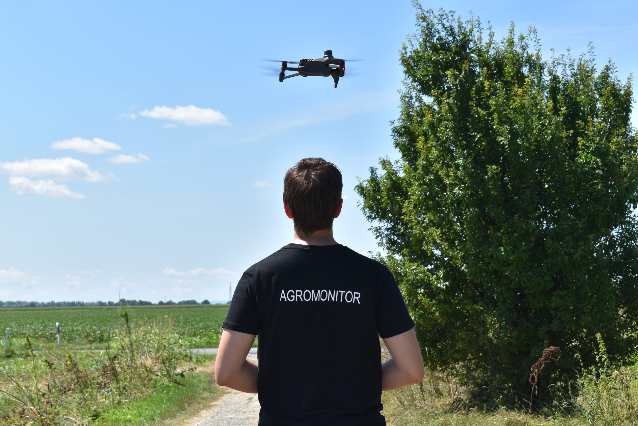
 Aerial Drone Mapping in High Resolution
Mapping of your crops using state of the art aerial solutions.
Vegetation must be visible for successful mapping*
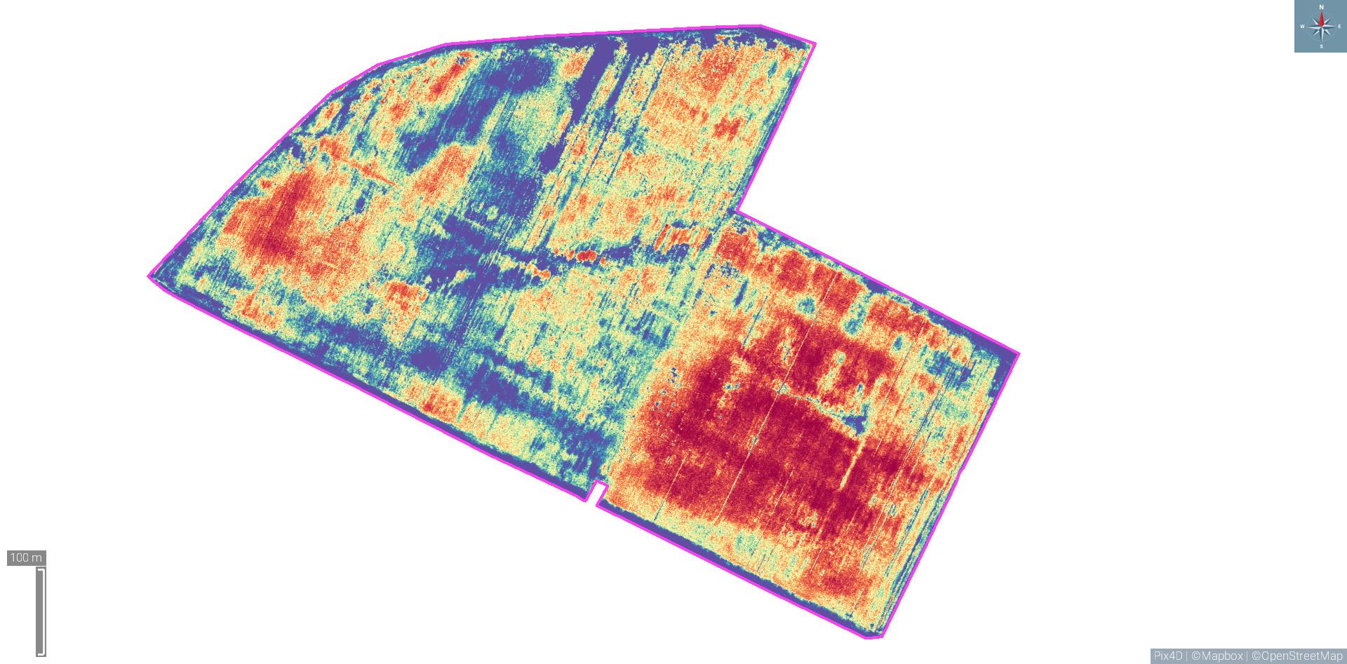
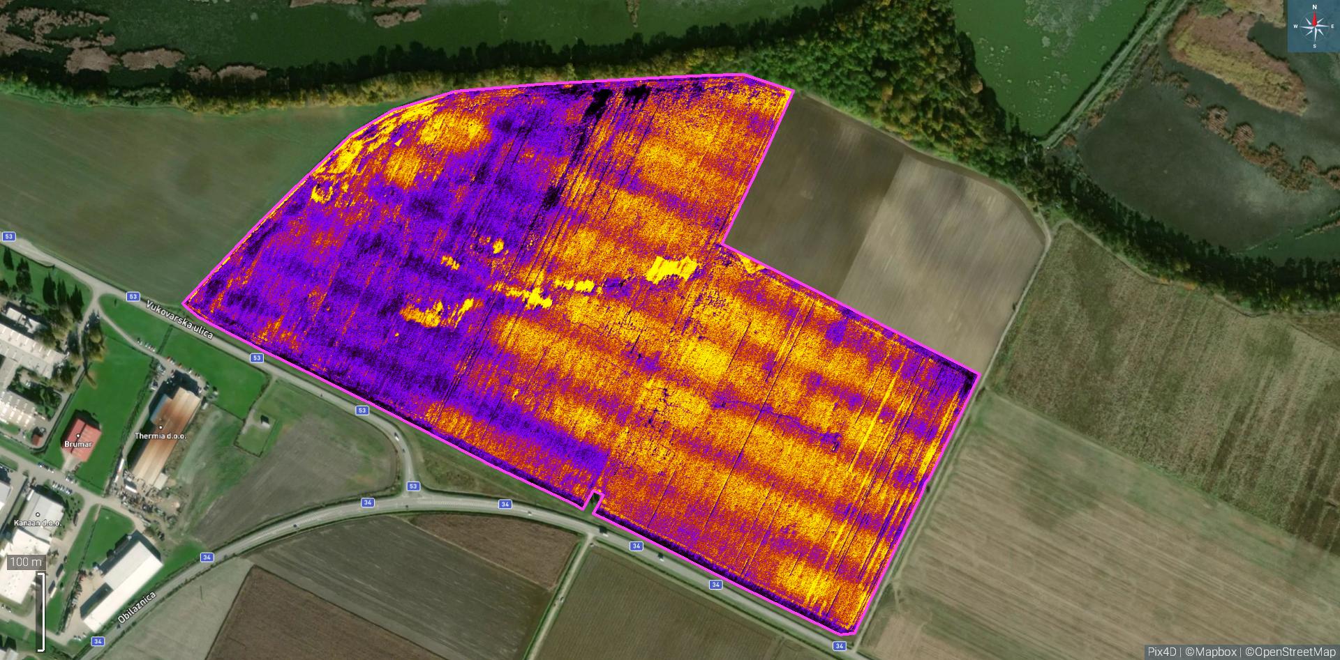
 Computer processing of recorded materials
Processing recorded materials in the latest software to maximize the utilization of collected information.
 Cost savings