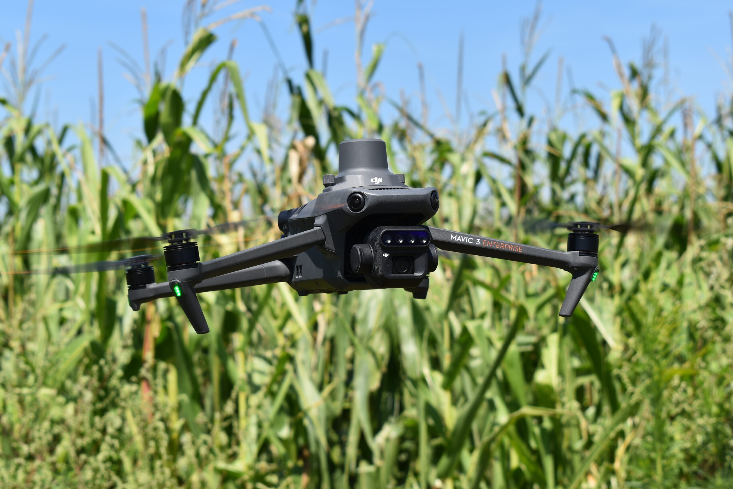
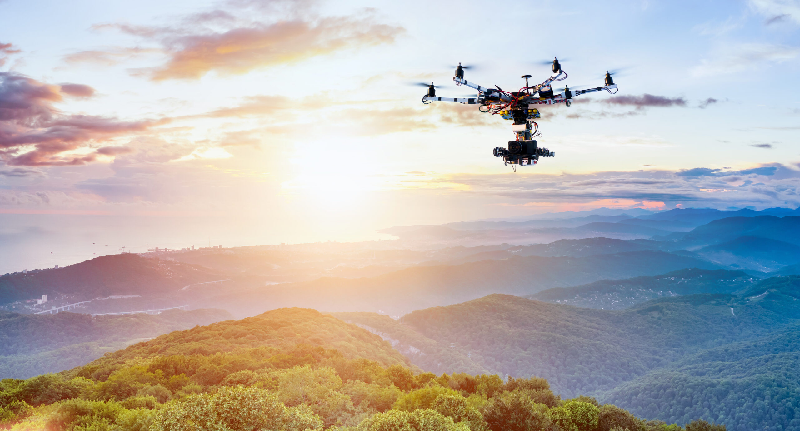
 Aerial Drone Mapping in High Resolution
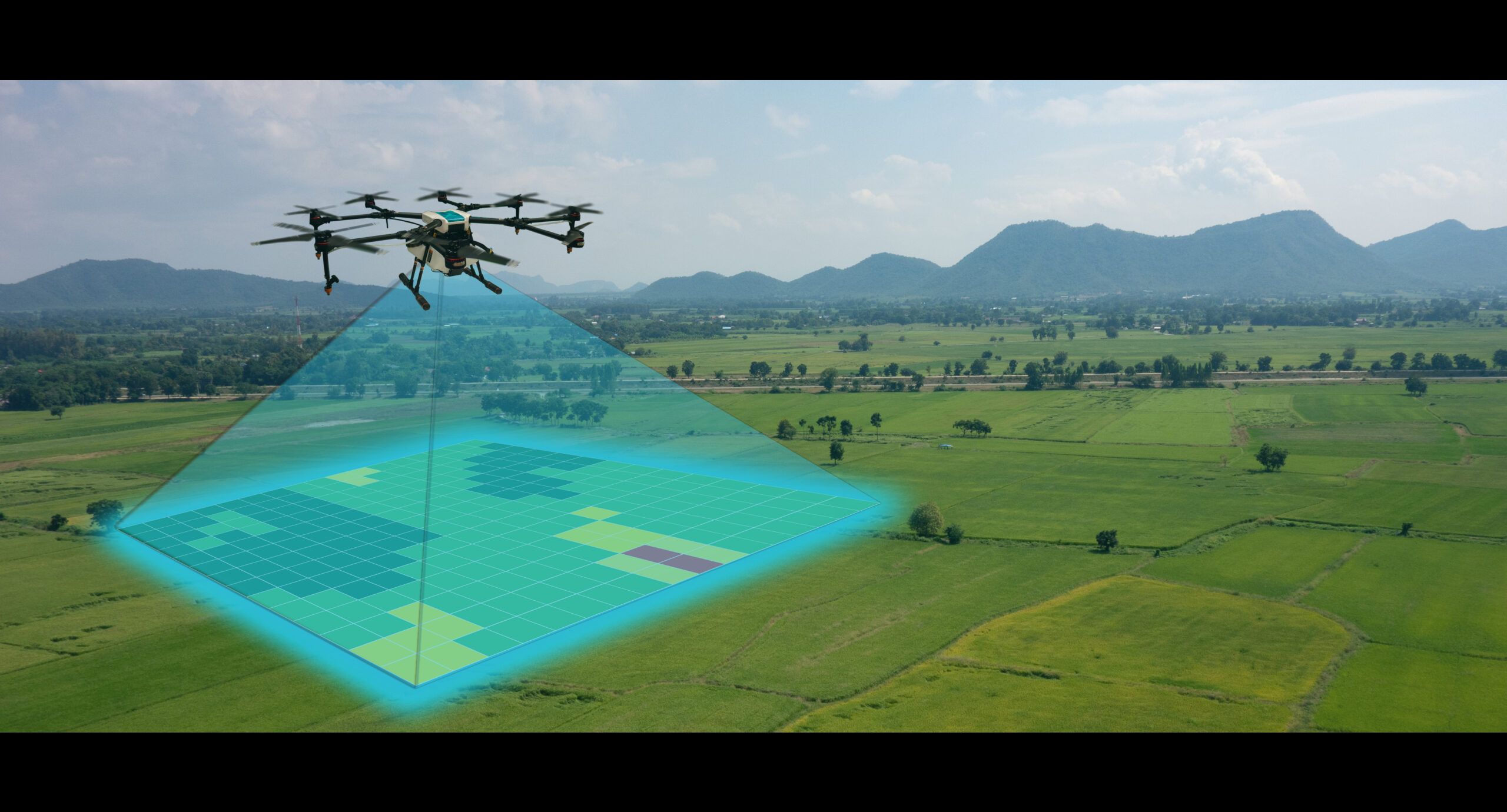
Mapping of your crops using state of the art aerial solutions.
Vegetation must be visible for successful mapping*
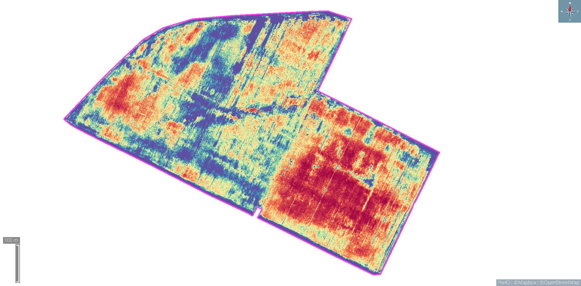
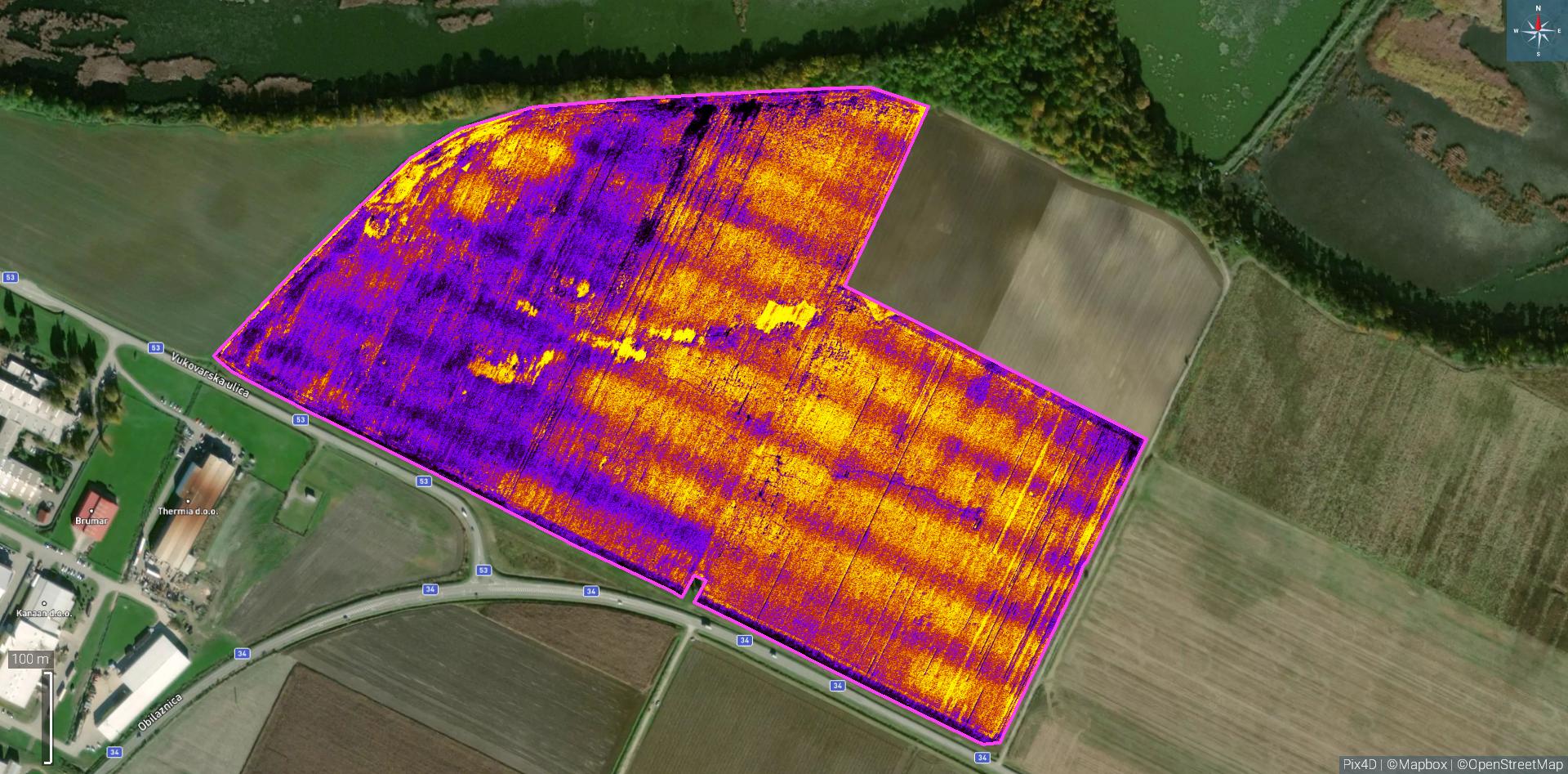
 Computer processing of recorded materials
Processing recorded materials in the latest software to maximize the utilization of collected information.
 Cost savings
- All Post
- Nekategorizirano
8. July 2023./
No Comments
Drones and satellites both have significant applications in agriculture and can be used for various purposes. The comparison by categories…
8. July 2023./
Multispectral imaging is a technique used to capture and analyze images at multiple wavelengths across the electromagnetic spectrum. Instead of…
